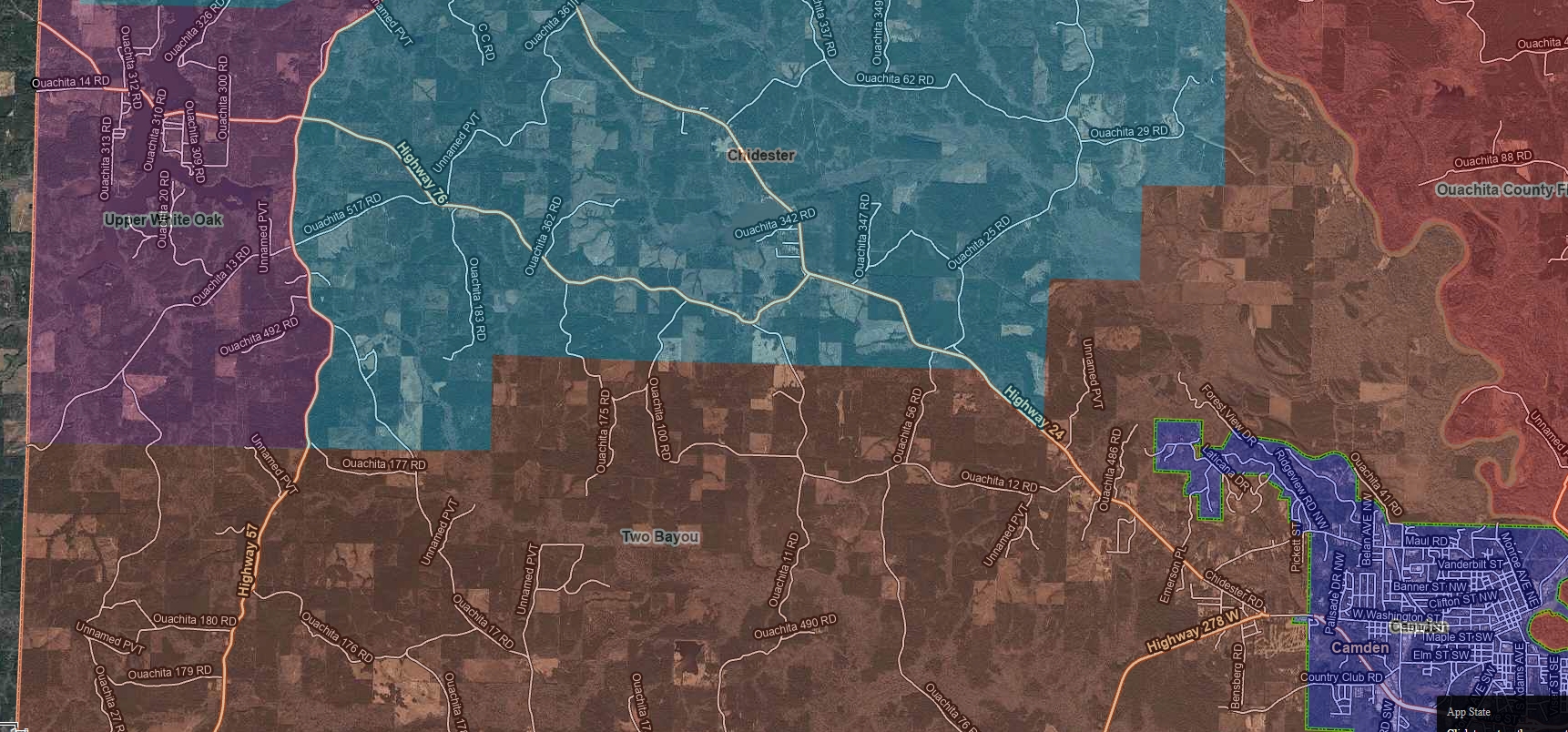
North Boundary Detail
A closer view of the northern portion of the district and nearby coverage lines.
Coverage Area
Two Bayou Volunteer Fire Department serves a defined district and works alongside neighboring departments to provide coordinated fire protection and emergency response across the area.
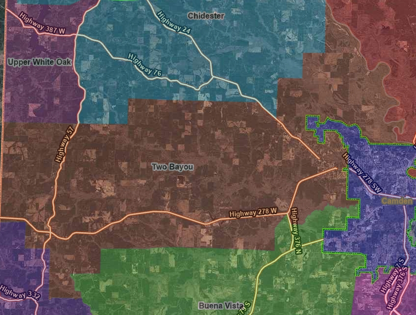
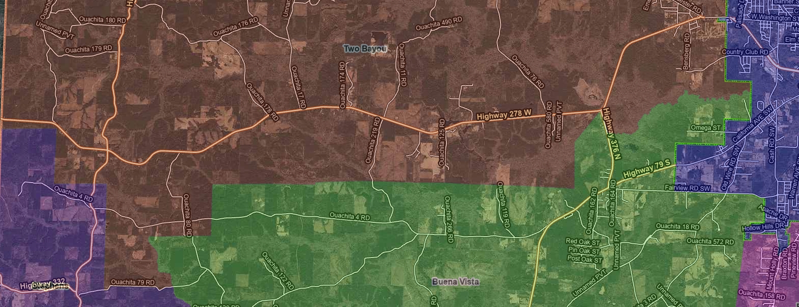
This page provides a visual look at the Two Bayou VFD district and surrounding response areas. The full district map gives the big picture, while the detail maps below provide a closer look at the north and south boundary areas.
These maps are intended to help residents, property owners, and visitors better understand where the district sits in relation to surrounding departments and roads.
This wide view shows the overall Two Bayou VFD district in relation to nearby departments and surrounding roads.
For a closer look, the maps below highlight the north and south border areas of the district in greater detail.
A closer view of the northern portion of the district and nearby coverage lines.
A closer view of the southern portion of the district and nearby coverage lines.
District lines, neighboring response areas, and fire protection coverage can sometimes raise questions. If you need more information about coverage, fire protection membership, or where your property falls within the district, contact the department for clarification.